
Kin & Kith neighbourhood
Nearby Places List
Every place from the neighbourhood map, sorted by distance from Kin & Kith. Prefer the map? View the neighbourhood map.
Schools & community
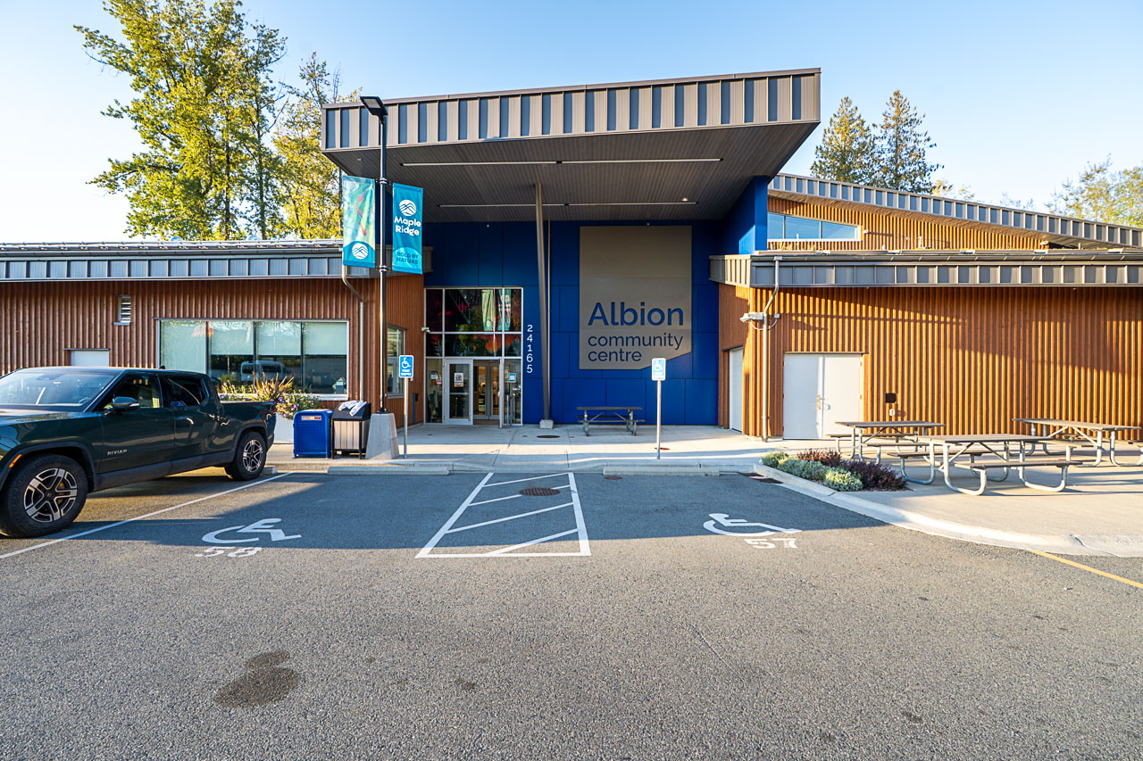
Albion Community Centre
Drop-in gym nights, swim lessons and toddler chaos, all under one very busy roof.
1.9 km · about 30 min walk · about 6 min drive
24165 104 Avenue, Maple Ridge, BC
Mon–Thu 9 am–8 pm; Fri–Sun 9 am–5 pm
Samuel Robertson Technical
The neighbourhood high school, close enough that teenagers can still sleep in.
1.9 km · about 31 min walk · about 6 min drive
10445 245 Street, Maple Ridge, BC V2W 2G4
Hours not published; check with the school office
Albion Elementary
Backpacks, permission slips and the morning bell, a short stroll from home.
2.6 km · about 42 min walk · about 7 min drive
10031 240 Street, Maple Ridge, BC V2W 1G2
Hours not published; check with the school office
Maple Ridge Secondary
A big downtown secondary school with plenty of teams, clubs and spirit days.
4.8 km · about 77 min walk · about 11 min drive
21911 122 Avenue, Maple Ridge, BC V2X 3X2
Hours not published; check with the school office
Sports & parks
Planet Ice
Early-morning hockey, public skates and hot chocolate duty in the stands.
1.8 km · about 30 min walk · about 6 min drive
23588 Jim Robson Way, Maple Ridge, BC V2W 1B8
Hours not published; ice times vary
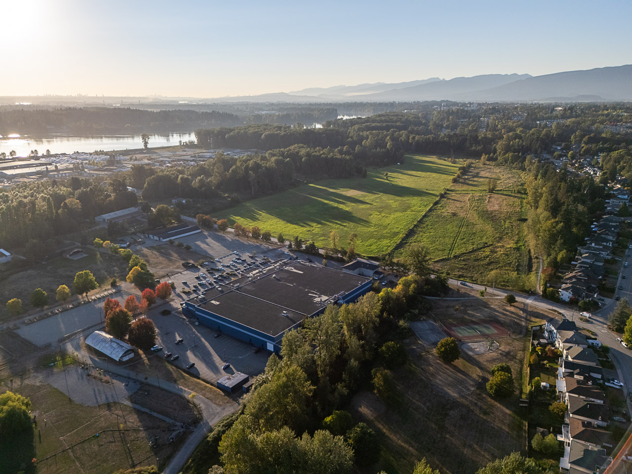
Albion Fairgrounds
The local fairground, ready for the next community shindig on the calendar.
1.9 km · about 32 min walk · about 6 min drive
23588 Jim Robson Way, Maple Ridge, BC V2W 1B8
Hours not published; access varies by event and booking
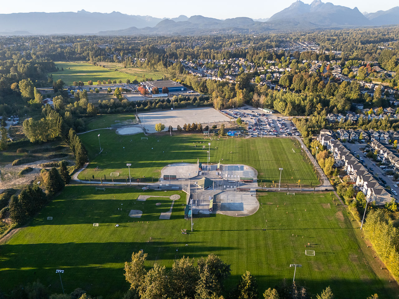
Albion Sports Complex
Weekend soccer, evening practices and a whole lot of sideline coffee.
2.2 km · about 35 min walk · about 6 min drive
23778 104 Avenue, Maple Ridge, BC V2W 0G8
Hours not published; access varies by booking
Cliff Falls
A waterfall, a sandstone canyon and a fish hatchery, all on one walk.
2.2 km · about 36 min walk · about 6 min drive
Cliff Falls, Kanaka Creek Regional Park, Maple Ridge, BC; use the Cliff Falls and Bell-Irving Hatchery area on the park map.
Seasonal daylight hours; gates lock at closing
Kanaka Creek Regional Park
Creekside trails and tall trees for when the backyard feels too small.
2.5 km · about 41 min walk · about 7 min drive
Multiple entrances in Maple Ridge, BC: Cliff Falls/Canyon and Fraser Riverfront. Choose an entrance on the official park map.
Seasonal daylight hours; gates lock at closing
Revs Bowling & Entertainment
Strikes, spares and gutter-ball glory on five- and ten-pin lanes.
2.9 km · about 47 min walk · about 8 min drive
22730 119 Avenue, Maple Ridge, BC V2X 2Z8
WildPlay Maple Ridge
Climb, balance and zip through the trees, then brag about it at dinner.
3.7 km · about 60 min walk · about 9 min drive
Address awaiting verification.
Maple Ridge Park
Playground marathons, riverside rambles and picnic-table negotiations over snacks.
3.9 km · about 64 min walk · about 10 min drive
13180 232 Street / 23280 132 Avenue, Maple Ridge, BC
Hours not published; spray-park hours are seasonal
Malcolm Knapp Research Forest
Quiet UBC forest loops where the loudest thing is usually a woodpecker.
6.3 km · about 102 min walk · about 14 min drive
Public trail gate at the end of Silver Valley Road, reached via 232 Street, Maple Ridge, BC.
Check posted gate hours before visiting
Whonnock Lake
A sandy little lake for summer swims and slow, sandy-toed afternoons.
7.4 km · about 121 min walk · about 16 min drive
Address awaiting verification.
Food & drink
Ridge Brewing Company
Small-batch pours in the tasting room, plus a growler for the fridge at home.
2.8 km · about 45 min walk · about 7 min drive
22826 Dewdney Trunk Road, Maple Ridge, BC
Red Robin Maple Ridge
Bottomless fries and burger night, no dishes required.
2.9 km · about 48 min walk · about 8 min drive
22701 Lougheed Highway, Maple Ridge, BC
Big Feast
A downtown lunch favourite with a seasonal menu worth wandering for.
3.0 km · about 49 min walk · about 8 min drive
11920 227 Street, Maple Ridge, BC
Mon–Sat 8 am–5 pm; Sun 8 am–3 pm
Gratia Bakery
Fresh-baked excuses to turn a coffee run into a treat run.
3.9 km · about 64 min walk · about 10 min drive
22225 Dewdney Trunk Road, Maple Ridge, BC
Daily 8 am–6:30 pm
Humble Roots
A cozy cafe stop where the seasonal menu keeps regulars guessing.
5.0 km · about 81 min walk · about 12 min drive
13179 224 Street, Maple Ridge, BC
The Patch Brewery
Pizza, pints and the occasional coffee catch-up in one easygoing spot.
6.3 km · about 102 min walk · about 14 min drive
12745 Laity Street, Maple Ridge, BC
Sun–Thu 11 am–9 pm; Fri–Sat 11 am–10 pm
Shops & services
Valley Fair Mall
Errands, essentials and a little accidental browsing in between.
2.8 km · about 46 min walk · about 7 min drive
22709 Lougheed Highway, Maple Ridge, BC V2X 2V5
Mon–Sat 10 am–6 pm; Sun noon–5 pm
Langley Farm Market
Crates of produce, a deli counter and dinner ideas you did not plan on.
3.1 km · about 50 min walk · about 8 min drive
1-22621 Lougheed Highway, Maple Ridge, BC
Mon–Sat 8:30 am–8 pm; Sun 8:30 am–7 pm
Haney Place Mall
The downtown mall for list-checking and window-shopping detours.
3.3 km · about 54 min walk · about 8 min drive
11900 Haney Place, Maple Ridge, BC V2X 8R9
Mon–Sat 10 am–6 pm; Sun noon–5 pm
Ridge Meadows Hospital
Local hospital and emergency care, close by when it counts.
5.4 km · about 88 min walk · about 13 min drive
11666 Laity Street, Maple Ridge, BC V2X 7G5
Hospital and emergency: open 24 hours
Transit
Port Haney West Coast Express
Weekday trains to the city, coffee in hand and traffic in the rearview.
3.7 km · about 60 min walk · about 9 min drive
Port Haney station, Maple Ridge, BC. A street address was not verified from the official schedule; use TransLink’s station map.
Weekday commuter train service; check the timetable
Distances are straight-line from approximate map coordinates; times are rough estimates, not routed. Hours may change, so check with each place before visiting.